
Aerial photo from USGS annotated with GPS coordinates showing the trail.
Digital Orthophotoquad images on our site are obtained from the USGS and their mapping partners.
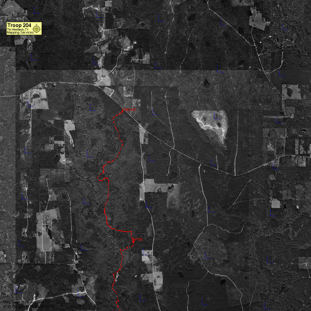
Small red dots are coordinates. Large red dots are annotated coordinates. The blue corner lines (if present) are aligned to magnetic north. If the magnetic declination has two decimal places, then it was calculated from the IGRF year 2000 data. That calculation only includes the main field calculation, which is generally 90% of the observed field. The calculated magnetic declination does not include local variations due to magnetic rocks in the earth's crust or other local anomolies. If the magnetic declination does not have two decimal places, then it was taken from some other source (such as a USGS quad). Note that in the east Texas area, the earth's magnetic field changes such that the magnetic declination is changing by about 4 min/year to the west.
This map is likely one of many maps of this trek. The (x,y) coordinate in the lower left corner is the position of this map panel in the whole set. The panel coordinates start with (0,0). (1,0) would be the panel just to the east of the origin panel. Use these panel coordinates to align the panels for the whole trail.
GPS Coordinates for the annotated points are listed below.nbsp; Currently the points are off by about 15-20 meters in SE Texas because the coordinates are not using the correct reference. That will eventually be fixed.
| Annotation | Latitude | Longitude | UTM Easting | UTM Northing |
| END-NT | 30.61343 | -94.34435 | 371139 | 3387531 |
| PPTR | 30.58327 | -94.34110 | 371411 | 3384185 |